Alberta’s municipalities are booming, driven by development, lower taxes, and proximity to major cities like Calgary and Edmonton, attracting new residents. […]
Alberta’s Massive Surge: The Cities to Watch

Alberta’s municipalities are booming, driven by development, lower taxes, and proximity to major cities like Calgary and Edmonton, attracting new residents. […]
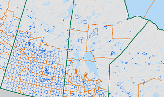
Canadian census boundary shifts distort population trends. Learn how municipal annexations warp business analytics and how to protect your data. […]