Think Canadian postal codes are random? Discover the sorting logic maps miss—and how it might be sabotaging your consumer data and marketing ROI. […]
Why Postal Codes Hide Your Most Valuable Customers

Think Canadian postal codes are random? Discover the sorting logic maps miss—and how it might be sabotaging your consumer data and marketing ROI. […]
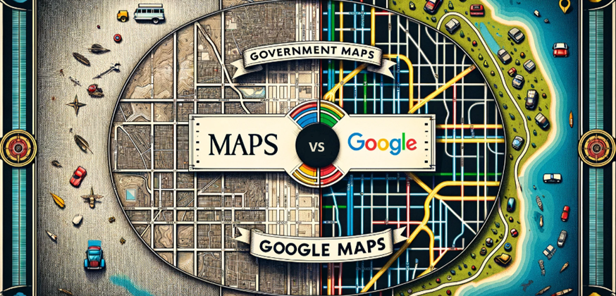
The selection of data providers and navigational aids can have a big influence on strategic decision-making in today’s data-driven business environment. With a case study on the annexation of the City of Brantford, we’ll discuss the subtle distinctions between Google Maps and government maps and goes into detail on how businesses can evaluate data sources critically. […]